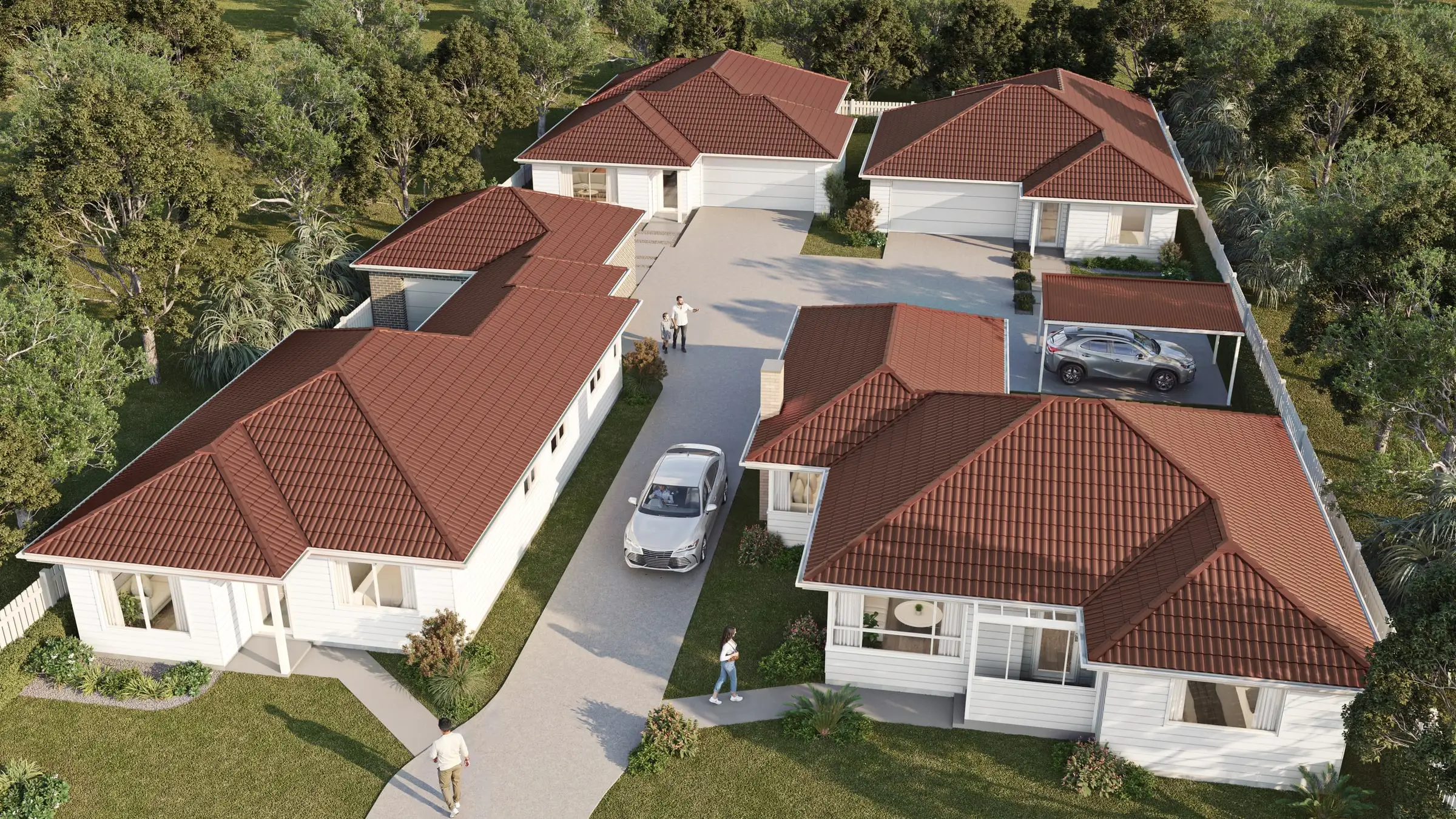
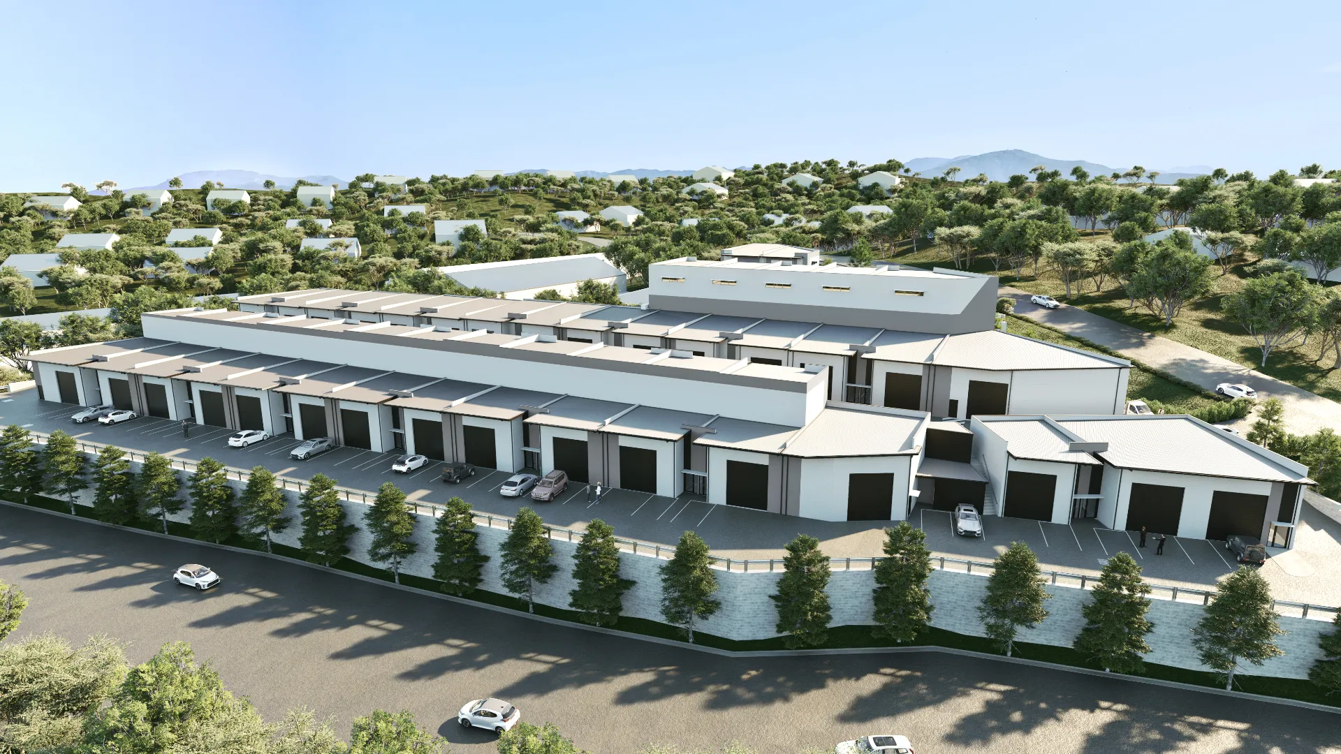
Aerial and master plan 3D renderings
Send the drawings: a fixed price, scope and delivery date come back by the next business morning. No deposit for registered businesses.
The Aurum Standard
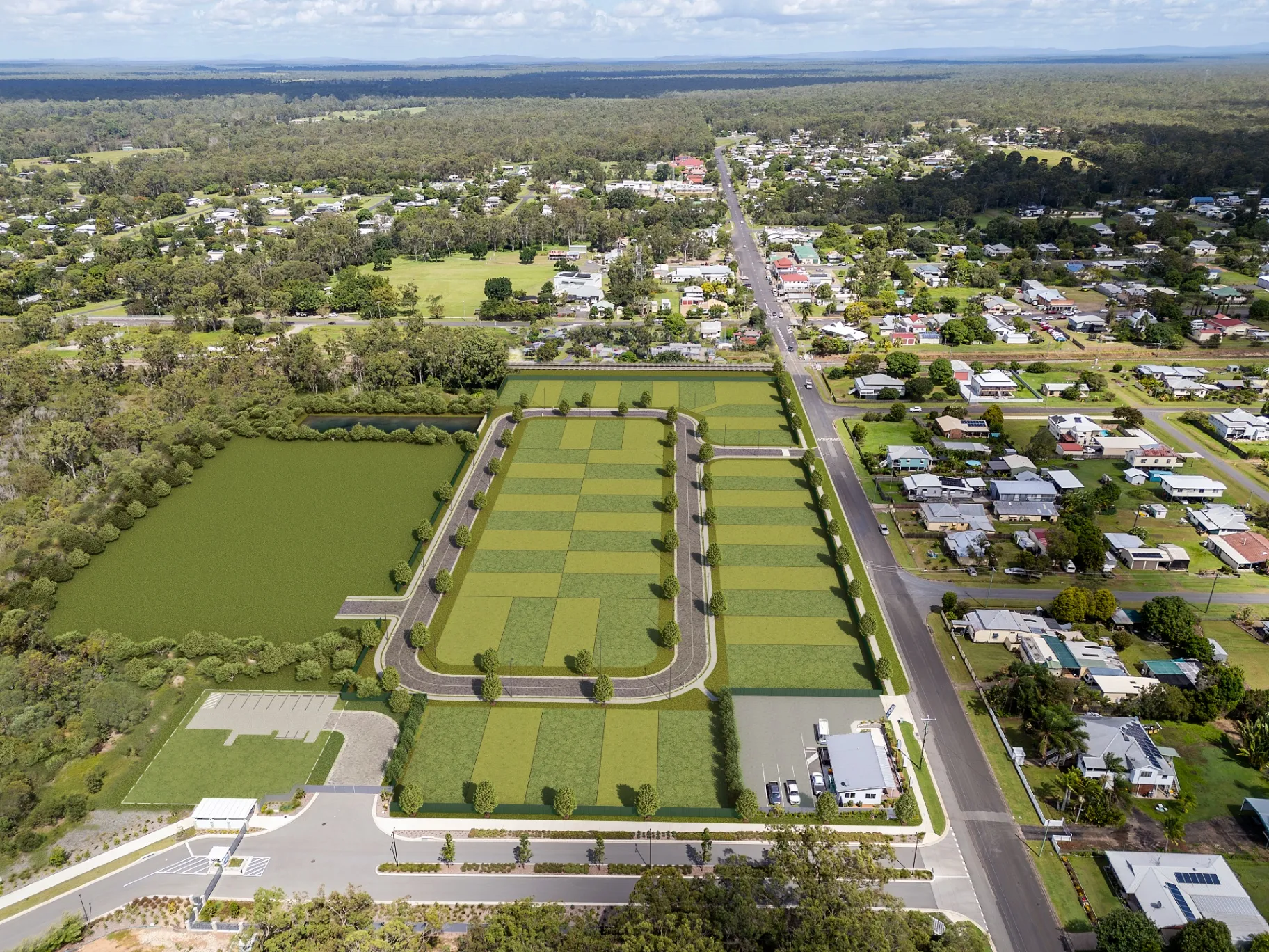
Master plan imagery has a different job from a hero render. It has to explain a site — how it sits in its context, how it is phased, where the landscape and circulation go — while still being attractive enough to sell from. We build these on real survey and context data, so what surrounds your development is genuinely what is there.
What you receive
- Aerial render built on accurate site and context data
- Surrounding built context modeled to real massing
- Full landscape and public-realm treatment
- Phasing overlays for multi-phase releases
- Print resolution for billboards and site signage
- Revision rounds agreed in your fixed quote
All prices in USD.
When it earns its cost
Explaining a large site
How the development sits in its surroundings, where the roads, open space and landscape go, and how it connects to transit and amenities. One well-made aerial replaces pages of plans for anyone who cannot read them.
Phased releases
A frame per phase from one master scene, with the released phase highlighted and later phases shown in context or left out. Each additional phase costs a fraction of the first image.
Approvals and community meetings
Accurate context and honest scale for planning staff and community meetings, where a large proposal is judged on how it fits the area around it.
In the United States · November 2026
Drone photographs for photo-matched aerials
The most convincing aerial sets the development into a drone photograph of the real site, and in the US that photograph is flown under the FAA’s rules. A drone of less than 55 pounds can be flown for work or business under Part 107: the pilot holds an FAA Remote Pilot Certificate, earned by passing the FAA’s knowledge test, and the drone is registered with the FAA, which costs $5 and lasts three years, and has had to broadcast Remote ID since September 16, 2023. The pilot keeps it within visual line of sight and below 400 feet.
Near an airport, in controlled airspace, the flight also needs an FAA airspace authorization. Through LAANC it can come back in near-real time, but only up to the height the FAA’s UAS Facility Map pre-approves at that spot; a higher view, still under 400 feet, goes to further coordination, which has to be requested at least 72 hours before the flight. A dusk aerial is possible too: since April 21, 2021, a Part 107 pilot may fly at night without a waiver by meeting the rule’s requirements, including anti-collision lighting visible for three statute miles. So if the site sits under an airport’s airspace, or the view needs height or dusk light, book the pilot early. We specify each shot for your drone pilot, its position, height, lens and time of day, and render the development to match the photograph.
Sources: Federal Aviation Administration, Certificated Remote Pilots including Commercial Operators; Federal Aviation Administration, Part 107 Airspace Authorizations; Federal Aviation Administration, Getting Started
How an aerial & master plan project runs
- 01
Site and context data
The master plan, survey, civil and landscape plans, with the surroundings built from survey, parcel data and aerial imagery. The fixed quote sets the views, the stages and the delivery date.
- 02
Massing and camera
The whole site is massed and the camera height and angle agreed, so the image shows exactly what it has to explain — access, open space, staging or context.
- 03
Landscape, roads and detail
Landscape and public spaces come from your plans, and buildings are detailed to the level the camera actually needs, which keeps the cost where it shows.
- 04
Stages and delivery
Release frames from the same scene, a labelled version for sales and a clean version for planning, all at print resolution for billboards and site signage.
What moves the price
- The size of the site and how much of its surroundings is modeled
- Building detail, from clean massing to fully detailed homes
- How many stages or release frames you need from the scene
- Combining the render with drone photography of the real site
- Labels and overlays for sales versions
Examples
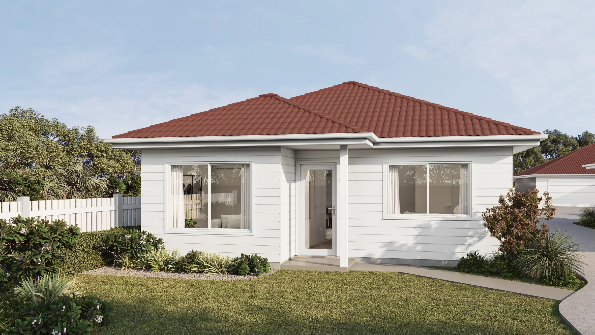
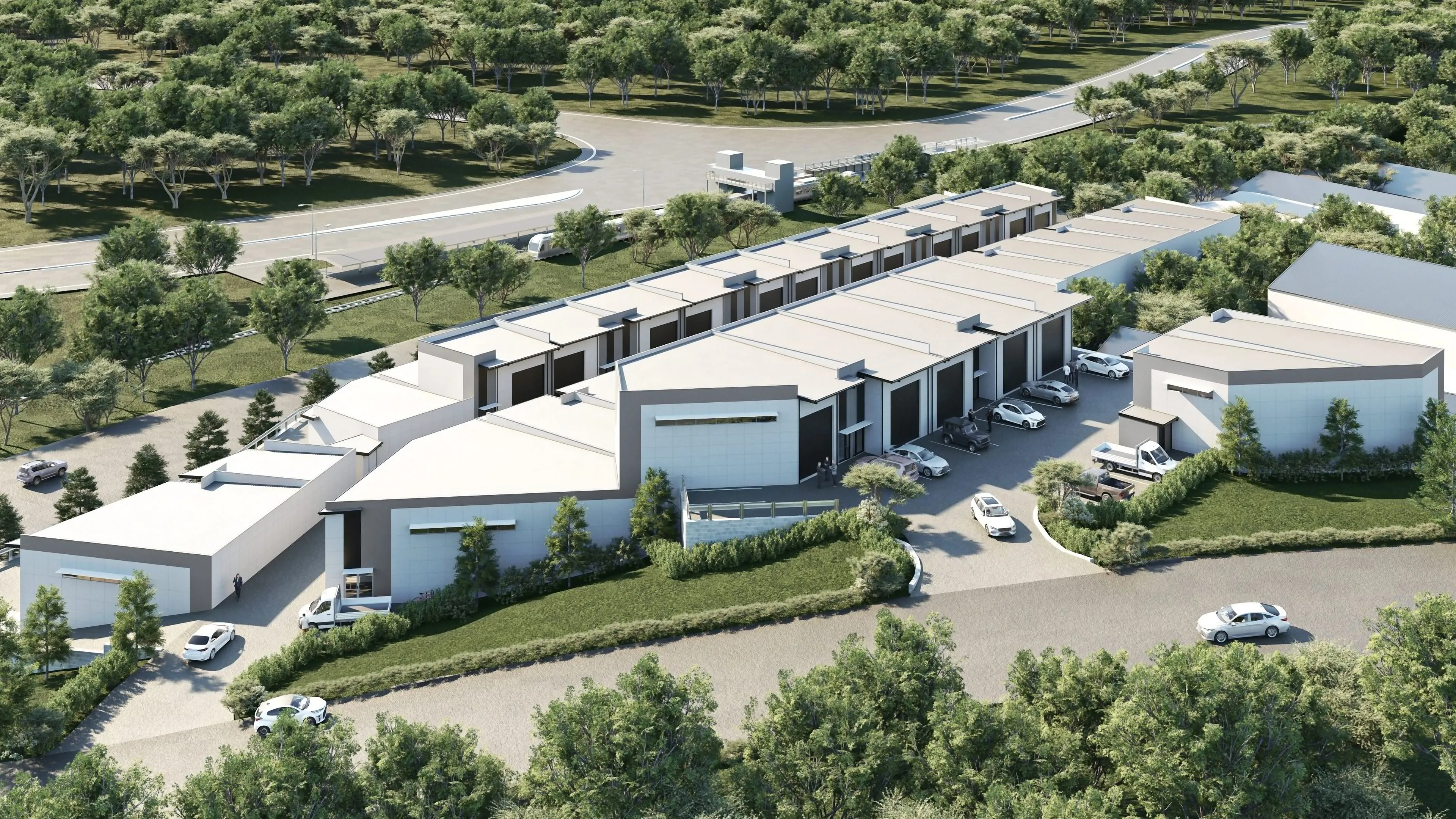
Aerial & master plan we’ve delivered
Start a project
Get a fixed quote
A fixed price, scope and delivery date by the next business morning. No deposit for registered businesses.
Received
Thank you — your inquiry is in.
We’ll come back with a fixed price, a scope and a delivery date by the next business morning. If anything is missing, we’ll ask in our reply.
- $0
- Deposit for registered businesses
- Next morning
- A fixed, scoped quote by the next business morning
FAQ
About aerial & master plan
Do you model the surrounding buildings accurately?
Yes. We work from survey, parcel data and aerial imagery so neighboring massing is real rather than invented. For planning submissions that distinction matters.
Can you show the development in phases?
It is one of the most common requests. We build the full site once, then produce a frame per phase from the same scene — each additional phase costs a fraction of the first image.
Can you combine a render with drone photography?
Yes. The development is rendered to match the drone photograph’s position, lens and light, then composited into it — the most convincing way to show a building in its real surroundings. We can specify the shots for your drone photographer.
Can the aerial show amenities, landscape and circulation clearly?
That is usually the point. Landscape, open space, paths and roads are built from your plans, and we can add restrained labels or phasing overlays for sales material — kept off the clean version used for planning.
How large can the images be printed?
Aerials are delivered at print resolution for billboards and site signage as standard, with web and presentation exports alongside.
Do you render master-planned communities and subdivisions?
Yes. The whole community from the air, with each phase shown as it will be released, the amenity center, parks and trails, and the roads that connect it, built from your land plan and the surrounding context.
Also from the studio
Exterior Rendering
Facades, elevations and streetscapes rendered at the fidelity a considered building deserves.
From $1,200Interior Rendering
Rooms rendered with the light, materials and styling that make a space feel lived in rather than assembled.
From $1,200Architectural Film
Cinematic film that moves through a building the way a person would, not the way a camera on rails does.
From $7,500Interactive & Virtual Tours
Navigable 360° environments for sales galleries, leasing offices and pre-construction campaigns.
From $3,500