Site plan rendering: rendered site plans, 3D site views and what each one is for
What a site plan rendering is, how a rendered 2D site plan differs from a 3D aerial site view, what each has to show, and what to send a studio.
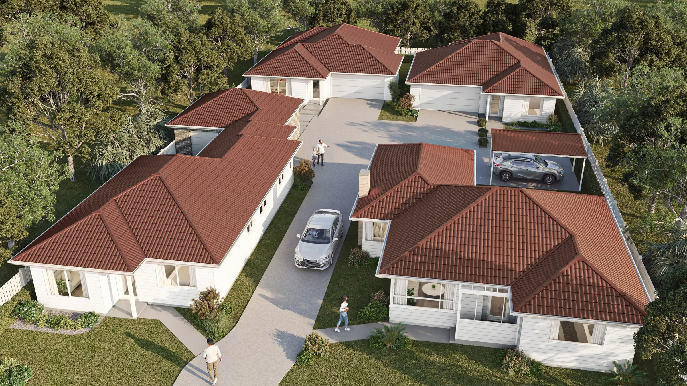
A site plan is the top-down drawing of a whole property: the buildings, the property lines, the drives and parking, the landscaping and what sits next door. A site plan rendering turns that drawing into a picture that people who don’t read plans can follow.
It comes in two kinds, which do different jobs. A rendered 2D site plan is still seen from directly above and drawn to scale. A 3D site view shows the same plan from the air, in perspective.
What a site plan has to show
Cities set out what a site plan must contain. Minneapolis requires site plans for some of its reviews, including preliminary development review, and its checklist asks for:
- a plan drawn to an architectural or engineering scale, with a north arrow and the date;
- existing and proposed conditions, clearly told apart;
- a signed survey with topography;
- the property lines;
- adjacent properties, with their land uses and building locations;
- building footprints and setbacks;
- a landscaping plan showing existing and proposed trees and shrubs, by location, type and number.
(City of Minneapolis, site plan checklist.) Other cities’ lists differ in the detail, so for an application the planning department’s own checklist is the one to follow.
A rendering made from that plan inherits its job. Whatever it adds, whether color, texture, shadow or a camera in the sky, it shouldn’t move anything the plan fixes.
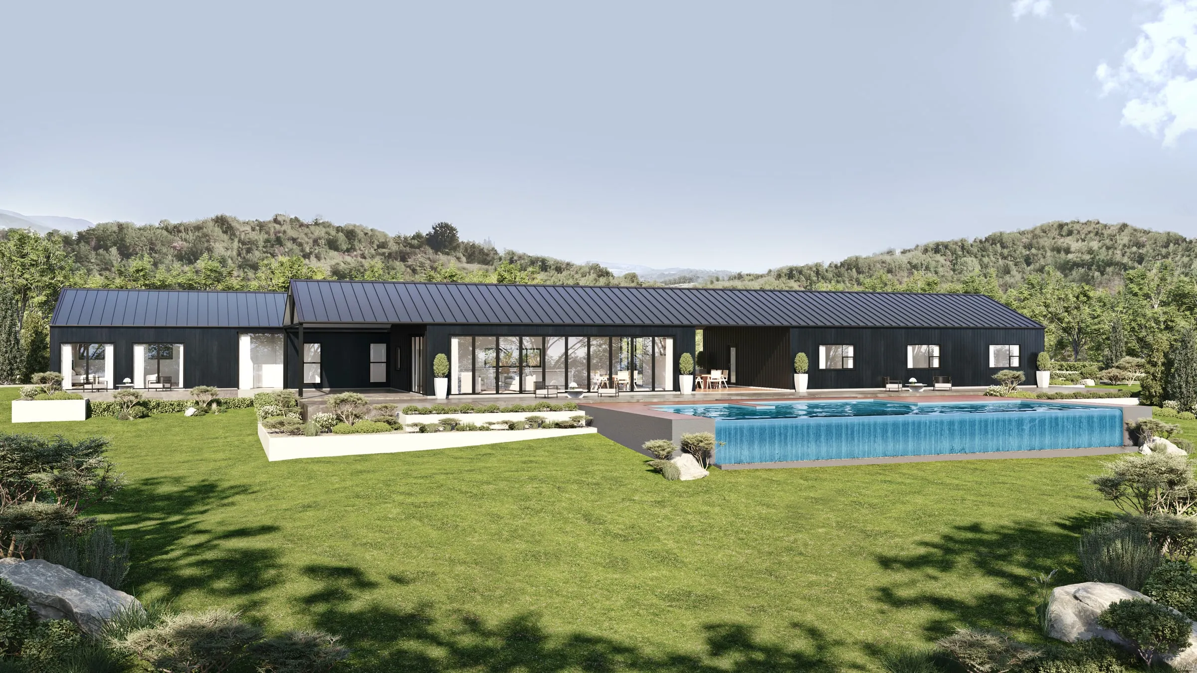
Rendered 2D site plans
A rendered site plan keeps the drawing’s view: straight down, to scale, with the north arrow. Color and texture go over the linework for lawn, paving, roofs, water and tree canopies, often with cast shadows. Because it is still a measured drawing, distances and areas can be read off it, which suits a lot map, a brochure’s site page or a presentation board.
Its limit is the drawing’s limit. Seen from straight above, height only shows as the length of a shadow. A four-story building and its two-story neighbor can look much the same, and so can a site that falls away steeply and one that is flat.
3D site views and aerials
A 3D site view starts as a model built from the site plan, the survey and the architecture. It is then seen from above at an angle, the way a drone would see it. It shows what the flat plan can’t: building heights against the neighbors, how the land falls, where the trees will stand, and how the site meets the streets around it. For a master-planned community, each phase can be shown as it is released, all from the same scene.
That makes it the clearer picture for anyone judging fit and scale, such as a planning commission, a design review board, neighbors at a community meeting, or buyers choosing a lot. It is also where accuracy matters most, because a view from the air can easily make a site look emptier, greener or smaller than the plan says:
- the surroundings should come from survey and aerial data;
- the planting should be drawn at the size the landscape plan gives;
- the heights should come from the elevations.
If the image is used in advertising, it is also an artist’s rendering, and the same standard applies.
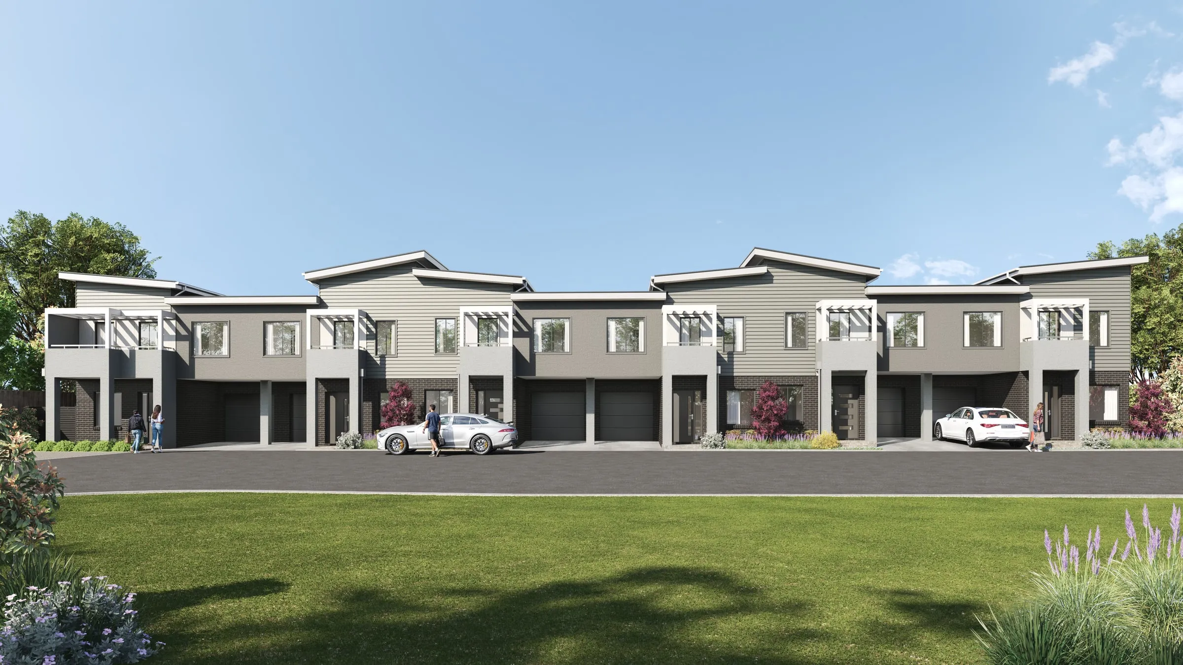
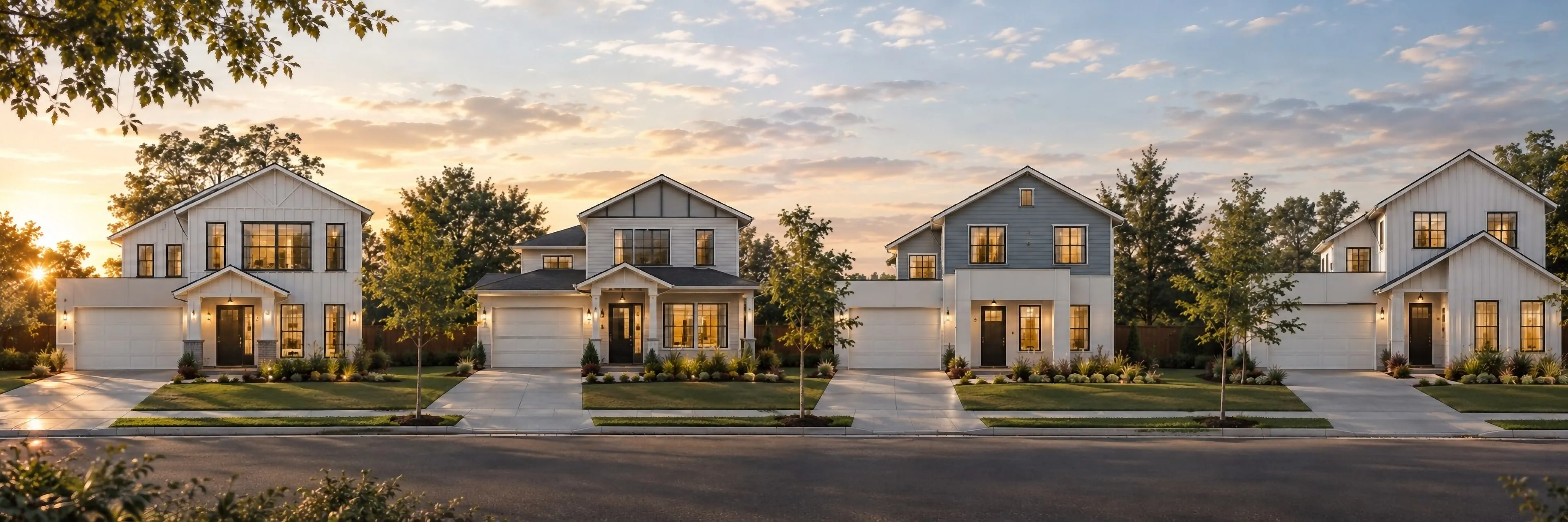
A site view from the air usually needs a partner at eye level. The street view shows the frontage the way neighbors and buyers will actually meet it, and the aerial explains how it all fits together.
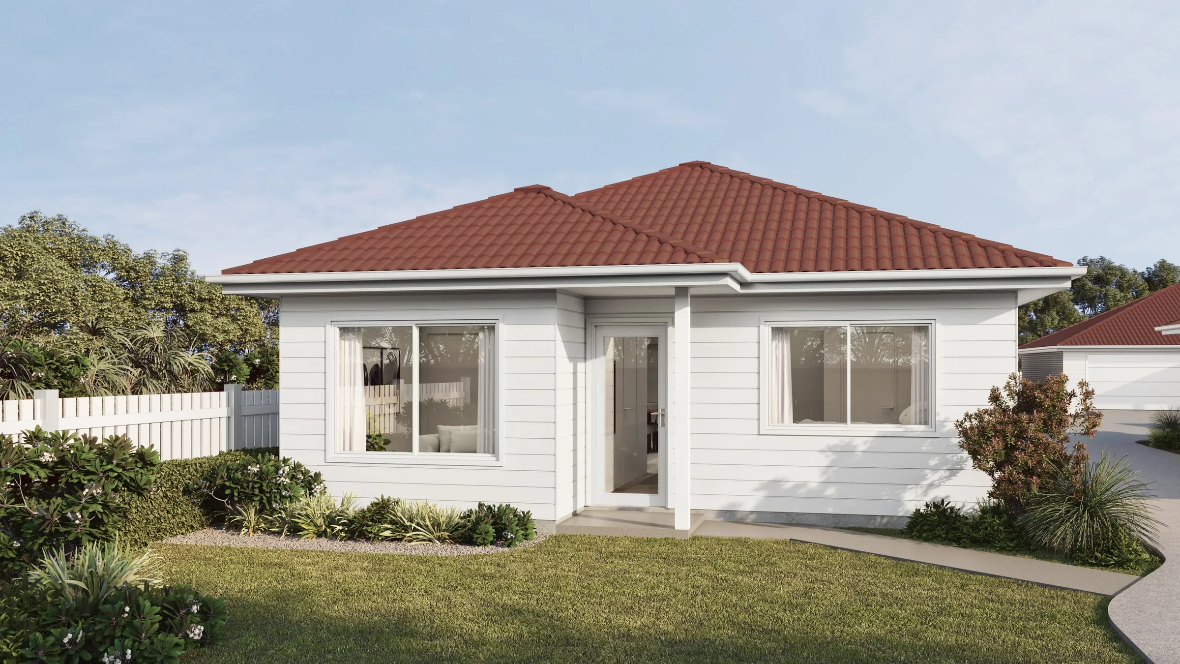
Which one you need
- For an application or permit set. Reviewers check the measured site plan itself. A rendered plan makes it easier to read, and a 3D view helps when the question is how the project fits its surroundings.
- For a design review board or a community meeting. A 3D site view from a height that takes in the neighbors, plus views from the street. HOA and architectural review renderings covers what boards look for.
- For sales. A rendered site plan for the lot map and the brochure’s site page. A 3D aerial for the hero image of the whole community and for each release.
- For investors and lenders. A 3D aerial that shows the whole site and its context in one frame. See renderings for investors.
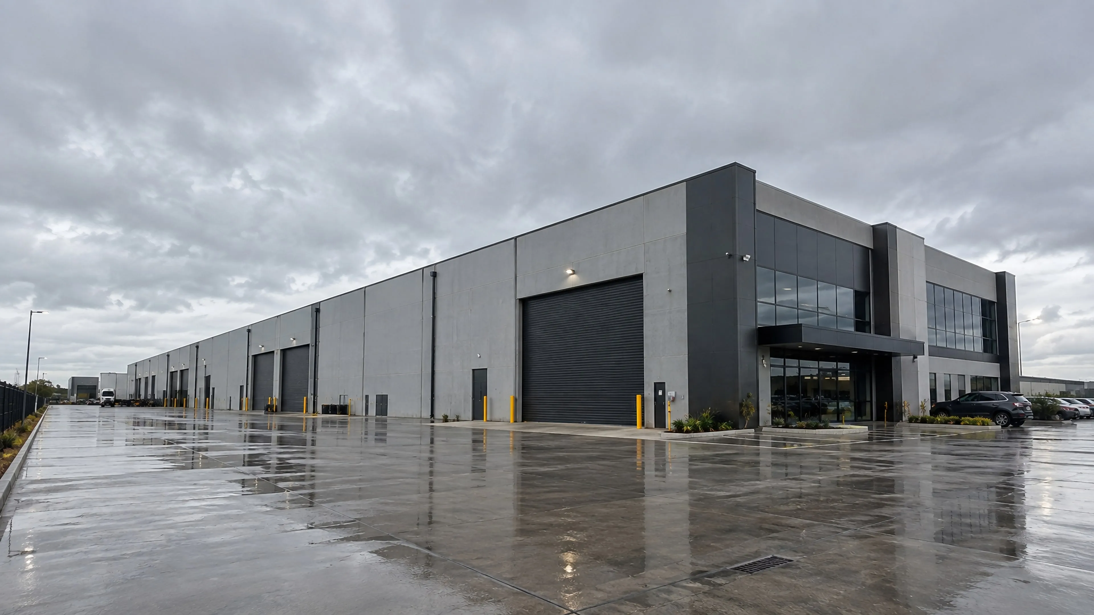
Commercial and industrial sites need the same care. Truck courts, parking, landscaping and the drives in and out are part of what a tenant or a planning board is judging, so they come from the civil and site plans rather than being sketched in.
What to send for a site plan rendering
- The site plan in CAD, with the north arrow and scale
- The survey, with topography or spot elevations
- The landscape plan and planting schedule
- The civil plans: grading, drives, parking and anything else that will be visible
- Elevations and roof plans for every building in view
- For a multi-phase project, the phasing plan
What we make
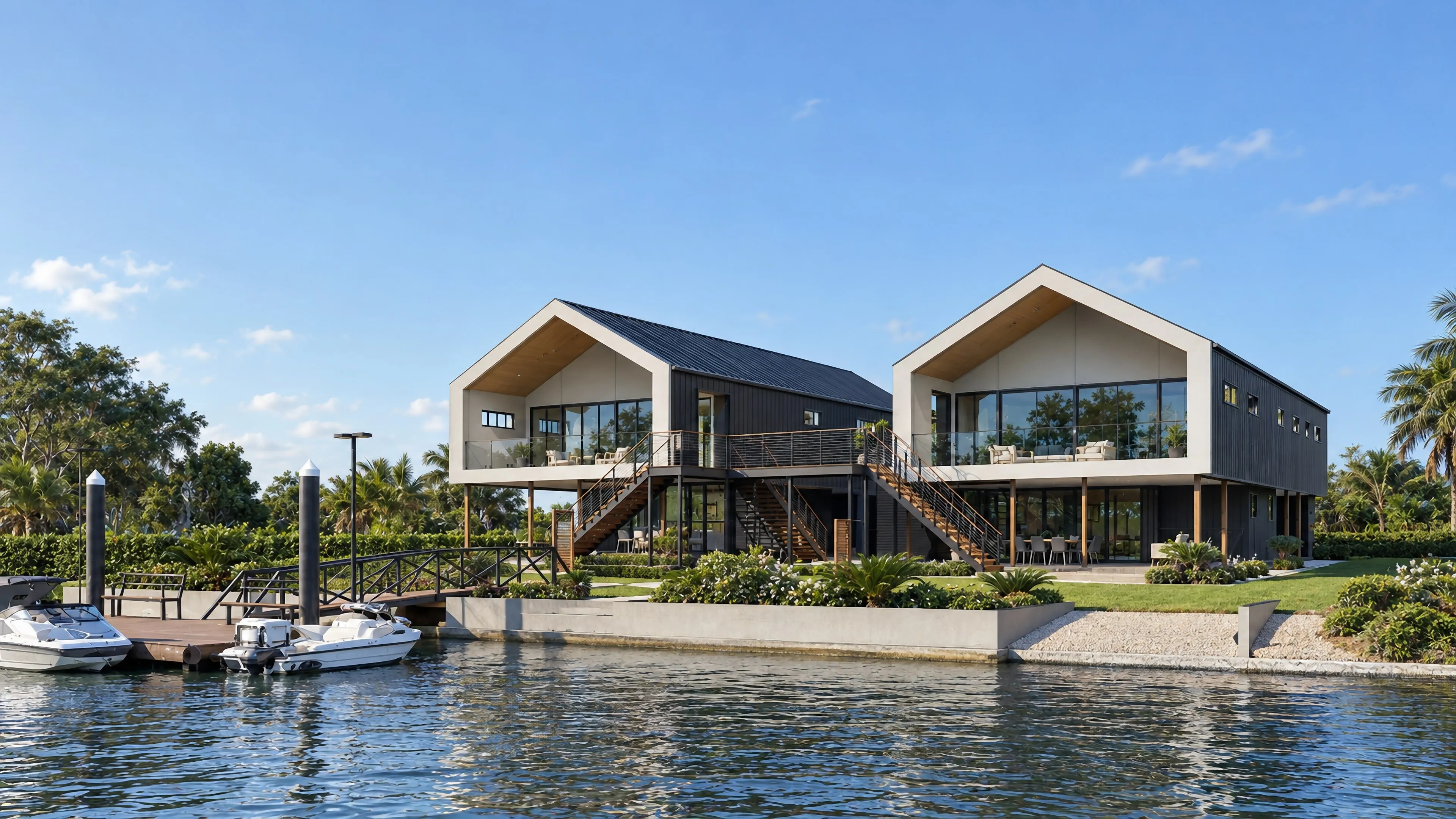
As a 3D rendering studio, Aurum makes the 3D kind: aerial and master plan renderings. They are built on the site plan and survey, with the surroundings modeled from survey, parcel data and aerial imagery, and the landscape and public spaces built from your plans. Each phase gets its own frame from the same scene. Every image comes as a labeled version for sales and a clean version for approvals, at print resolution for site signage.