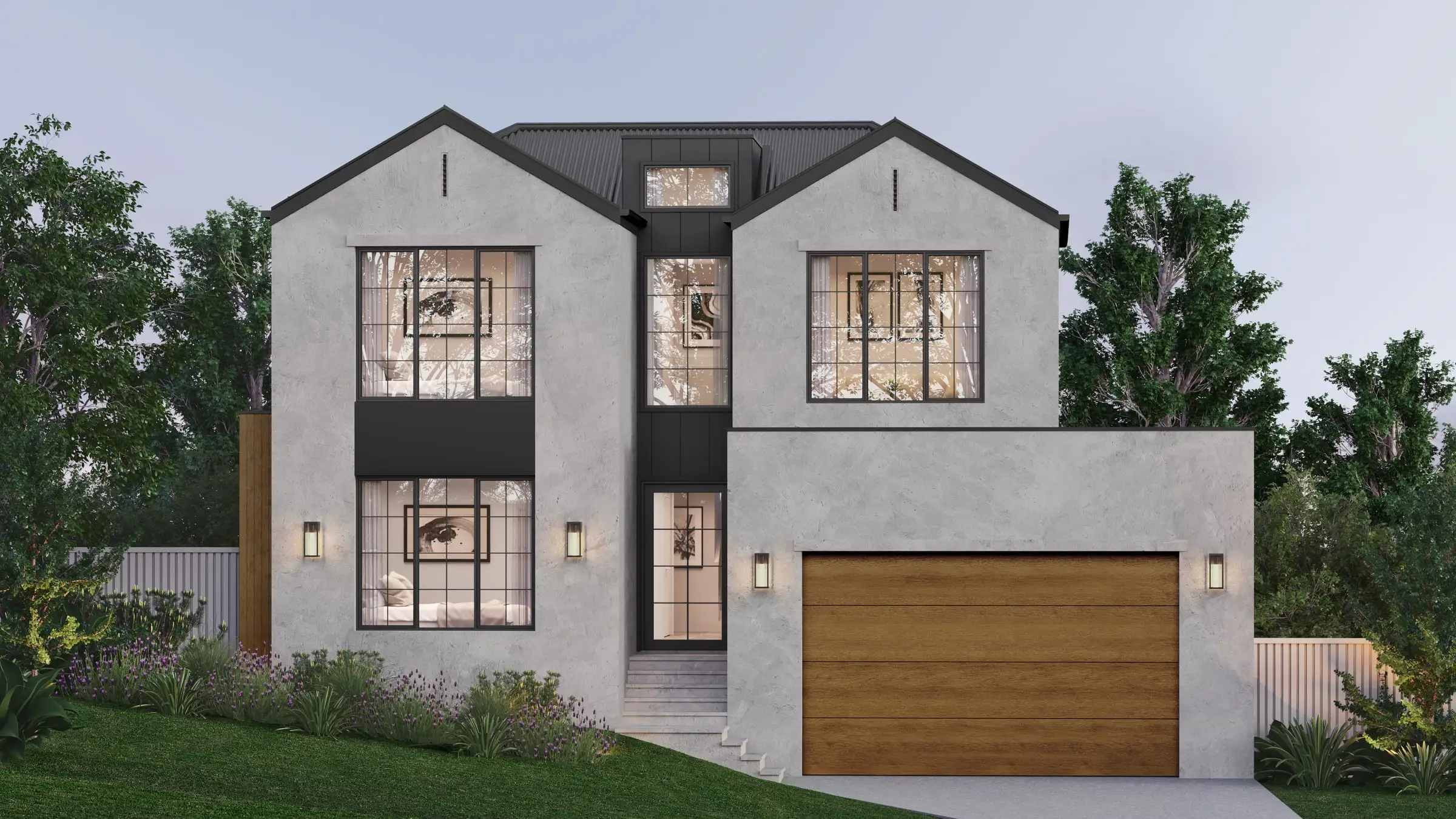
Architectural 3D rendering
in Washington, DC
A city of height limits, historic districts and federal review, where the skyline is a policy and every facade is read in context.
Send the drawings: a fixed price, scope and delivery date come back by the next business morning. No deposit for registered businesses.
Working in Washington, DC
Washington, DC is one of the 31 US cities Aurum Render works across.
Planning context
The federal Height of Buildings Act caps building heights across the District, so towers are rare and the city grows outward rather than up. Work in historic districts goes before the Historic Preservation Review Board, planned unit developments and map amendments go to the Zoning Commission, and sites with a federal interest can involve the Commission of Fine Arts or the National Capital Planning Commission. Imagery here is read by reviewers who know the street.
What gets built here
Victorian rowhouses on Capitol Hill and in Shaw and Logan Circle, Federal-era houses in Georgetown, limestone and brick office blocks downtown — many now being converted to apartments — and new mixed-use neighborhoods along the Navy Yard and Southwest waterfronts.
Who commissions it
Developers of office-to-residential conversions and mixed-use projects, rowhouse renovators and their architects working in historic districts, and institutions with long approval paths.
One thing we get right here
Washington is a low, wide city, so most views are framed by sky rather than towers, and its summers are humid and hazy. A downtown street rendered with a dense skyline behind it — or crisp, dry air in July — tells anyone who lives there the image was made somewhere else.
What’s changing · October 2026
Washington is turning offices into homes. The Housing in Downtown program offers a 20-year property tax abatement for commercial-to-residential conversions downtown, with the Department of Buildings approving the permits for qualifying projects. Across the District, the Comprehensive Plan’s Future Land Use Map, approved by the Council in 2021, sets where more housing can go, and expanded inclusionary zoning means many new buildings include affordable homes. For imagery, that means familiar office blocks presented as places to live, and new buildings explained to neighbors in the city’s historic streets.
Sources: DC Department of Buildings: Housing in Downtown; DC Office of Planning: Comprehensive Plan; DC Office of Planning: Inclusionary Zoning
Typical Washington, DC projects
Office-to-residential conversions
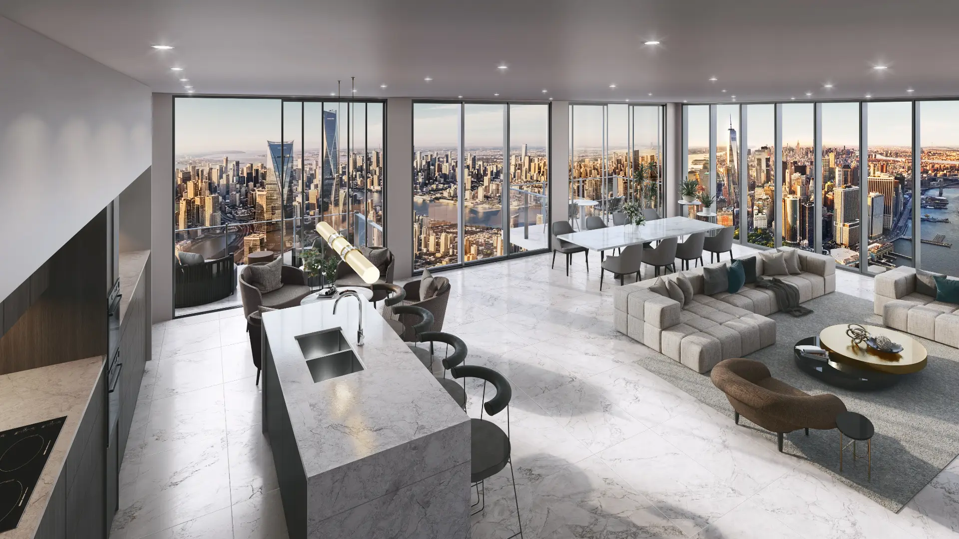
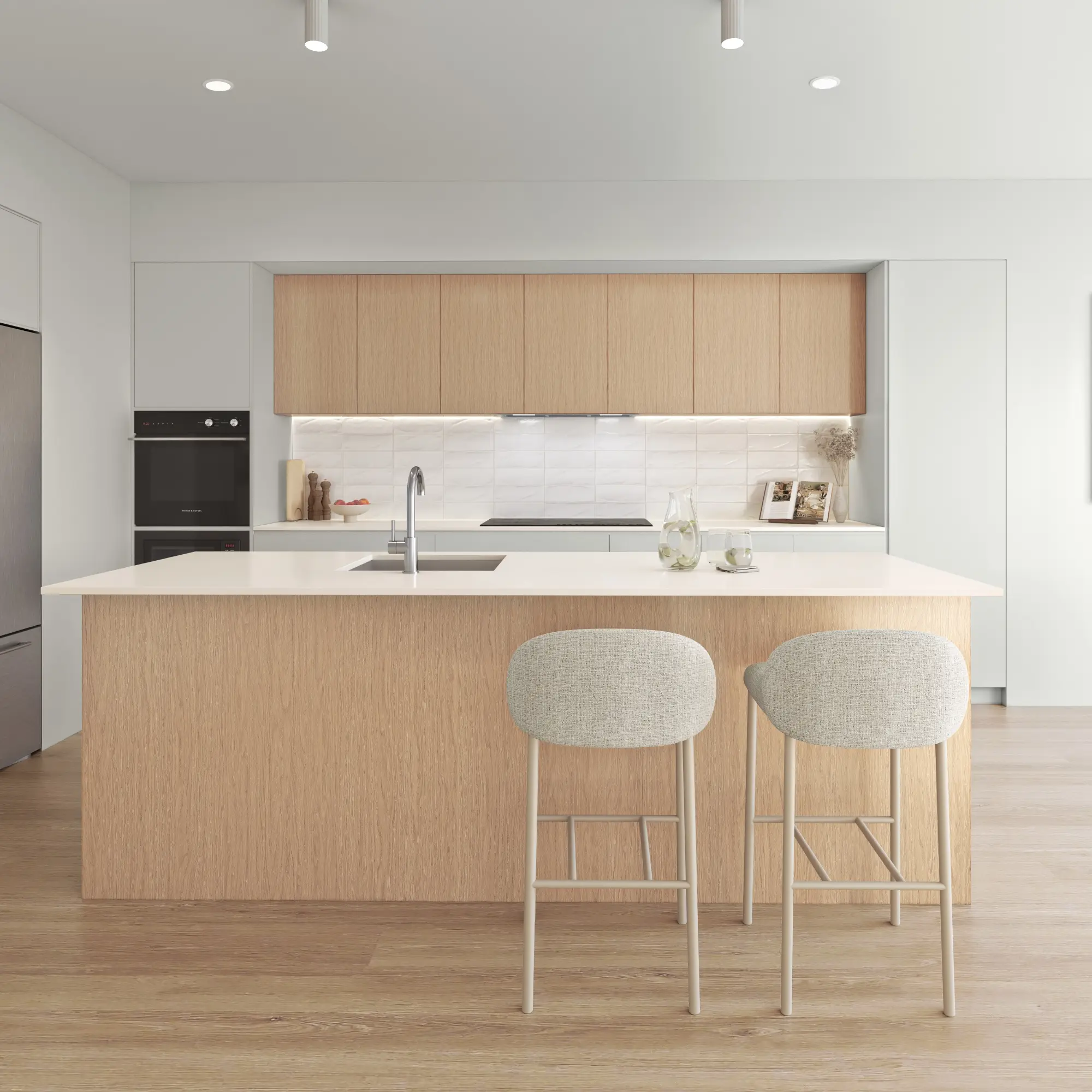
Downtown office buildings becoming apartments, marketed to renters who have only known them as offices. The images that sell them are the new apartment interiors with their real window positions and views, the rooftop amenity, and the street entrance remade for residents — all built from the actual building.
Historic district rowhouses
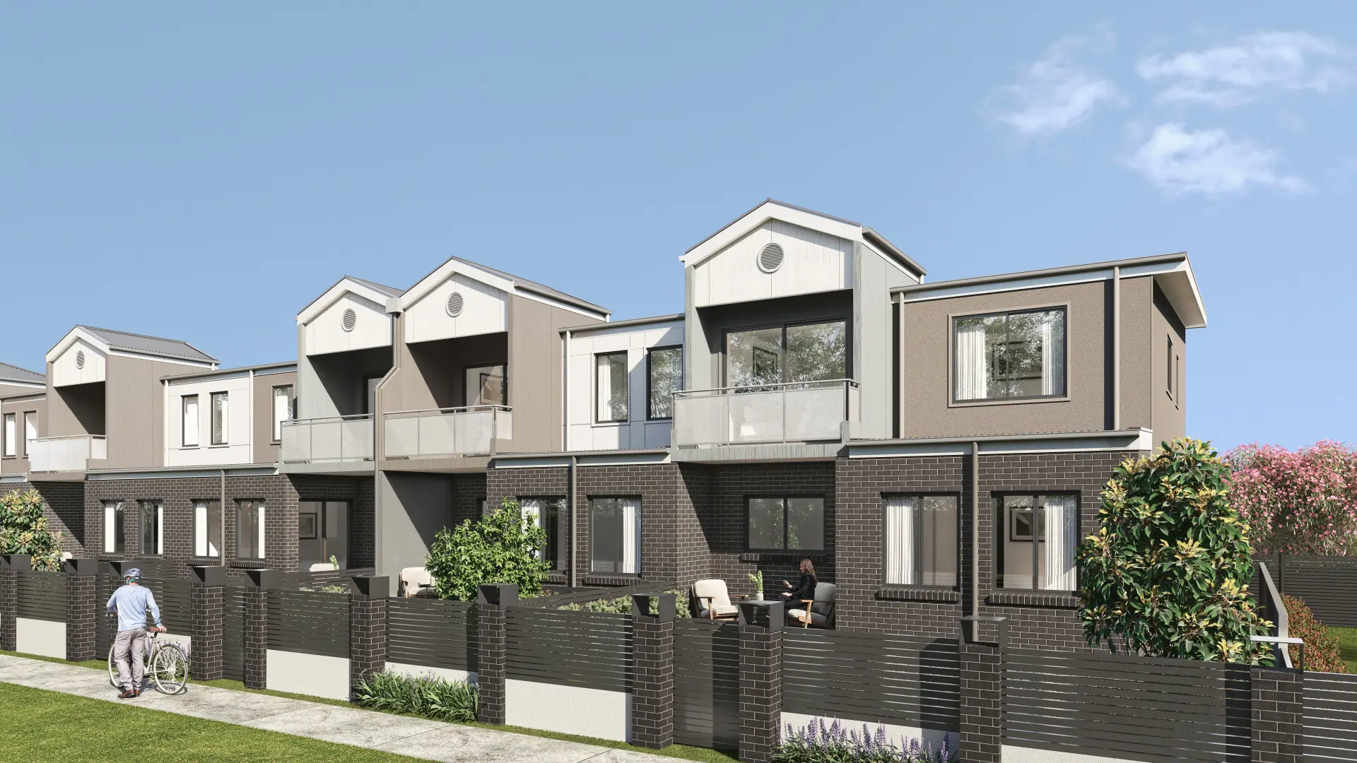
Rowhouse renovations, rear additions and rooftop penthouses on Capitol Hill, in Shaw and in Georgetown, where review asks whether new work can be seen from the street. We render the street view and the alley view at eye height and true scale, with the neighbors modeled from photography.
Mixed-use waterfront
Apartments, offices and retail along the Navy Yard and Southwest waterfronts, where the river and the ballpark are part of the sell. Each floor’s view is built from real context at its actual height.
A federal or District project going before the Commission of Fine Arts or the National Capital Planning Commission? How we support government and public-sector projects →
Services
What we make for Washington, DC projects
Exterior Rendering
Facades, elevations and streetscapes rendered at the fidelity a considered building deserves.
From $1,200Interior Rendering
Rooms rendered with the light, materials and styling that make a space feel lived in rather than assembled.
From $1,200Aerial & Master Plan
Whole-site imagery for master-planned communities, districts and phased developments — context, landscape and scale in a single frame.
From $2,400Architectural Film
Cinematic film that moves through a building the way a person would, not the way a camera on rails does.
From $7,500Interactive & Virtual Tours
Navigable 360° environments for sales galleries, leasing offices and pre-construction campaigns.
From $3,5003D Floor Plans
Each floor of your plan, every room furnished at true size, rendered from overhead in a single frame.
From $750Start a Washington, DC project
Send the drawings and a sentence about what the imagery has to do. Fixed price and a date back, usually by the next business morning.
Request a quoteWe work across Washington, Georgetown, Capitol Hill, Navy Yard, Arlington, Alexandria and Bethesda.
Compare all our 3D rendering services or read our plain guides to architectural rendering, architectural visualization and what 3D rendering is.
- $0
- Deposit for registered businesses
- Next morning
- A fixed, scoped quote by the next business morning
Start a project
Get a fixed quote
A fixed price, scope and delivery date by the next business morning. No deposit for registered businesses.
Received
Thank you — your inquiry is in.
We’ll come back with a fixed price, a scope and a delivery date by the next business morning. If anything is missing, we’ll ask in our reply.
Choosing a rendering studio for a Washington DC project
Ask how the studio prepares for review. Historic district work goes before the Historic Preservation Review Board, which asks what the public sees, so the useful images are the street view and, where it matters, the alley view at eye height and true scale — often with a visibility study showing whether a rooftop addition can be seen at all. Our guide to renderings for a historic district review explains how a visibility study is put together.
Ask how it renders a low, wide city. Under the Height of Buildings Act most views are framed by sky rather than towers, and summers are humid and hazy; a downtown street rendered with a dense skyline behind it, or crisp dry air in July, reads as somewhere else.
Check what is fixed before you commit: the views, the rounds of revisions, the delivery date, and whether a conversion is modeled from the building as it stands. In our Washington DC quotes all of that is set out in writing, and one senior artist carries the project from model to final image.
What drives the cost of rendering in Washington DC
The building you start from is the biggest variable. An office-to-residential conversion needs the existing structure modeled from drawings and survey, with the retained facade exactly as it is and the new apartments at their real window positions; a waterfront building needs each floor’s view built from real context at its actual height.
Review adds views, not new projects. A rowhouse addition is answered by the street and alley views, and a project with a federal interest by the views its commission asks to see — all from one model. Added views from the same scene cost far less than the first.
Washington DC projects receive a fixed quote before work begins, usually by the next business morning, and registered businesses pay no deposit.
Published prices: exterior and interior stills from $1,200 per image, aerials from $2,400, film from $7,500 per finished minute, 3D floor plans from $750 per plan and interactive tours from $3,500. See pricing or ask for a fixed quote.
How this compares with other cities: how long a building’s winter shadow runs in 15 US cities.
FAQ
Washington, DC questions
Do you work on projects in Washington, DC?
Yes — we produce 3D renderings for projects in Washington, DC, Georgetown, Capitol Hill, Navy Yard and across Washington, DC. We work from your drawings, survey and site photography, and match the light, materials and planting to the place.
Can you prepare imagery for the Historic Preservation Review Board?
Yes. Review turns on what the public sees, so we render from the street and, where it matters, the alley, at eye height and true scale, with the adjoining rowhouses modeled from photography. A visibility study — whether a rooftop addition shows from the street — is often the most useful image in the submission.
How do you show a conversion before work starts?
From the building as it stands. We model the existing structure from drawings and survey, keep the retained facade exactly as it is, and render the new apartments with their real window positions and views. Renters and buyers see the building they will actually live in.
Do you work in Northern Virginia and Maryland?
Yes — Arlington, Alexandria, Bethesda and the wider region, each with its own review process. Northern Virginia and Montgomery County sites are drawn to the views each jurisdiction asks to see, from your drawings and site photographs.
Also working in